Site Development Plan DWG | AutoCAD Topographic Layout
Description
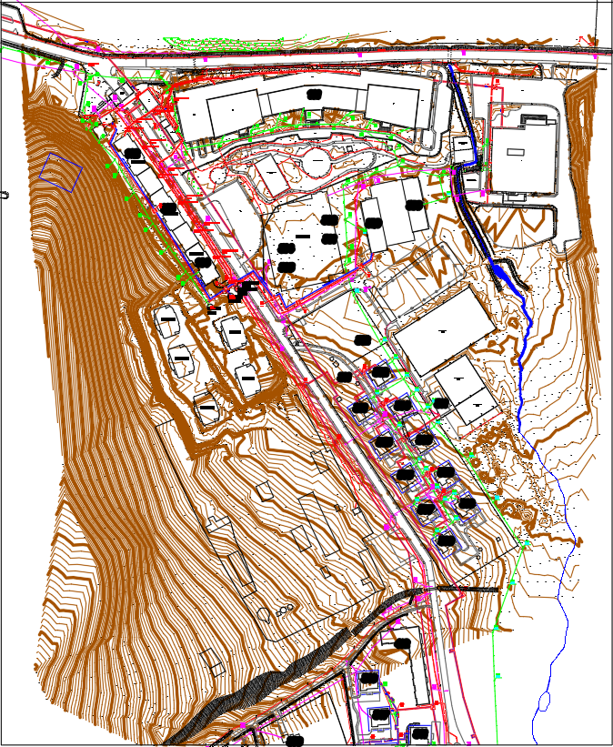
Download a detailed site development plan DWG file, featuring contour lines, building footprints, road networks, and utility layouts. This AutoCAD topographic drawing is perfect for architects, engineers, and planners working on land development, infrastructure projects, and urban planning, ensuring accurate site analysis and efficient project execution.
File Type:
3d max
Category::
Urban Design Projects CAD Blocks & CAD Models for City Plann
Sub Category::
Town Planning CAD Blocks for Urban Design Projects
type:
Gold